
01 / Digital Twins & LiDAR
Asset resilience
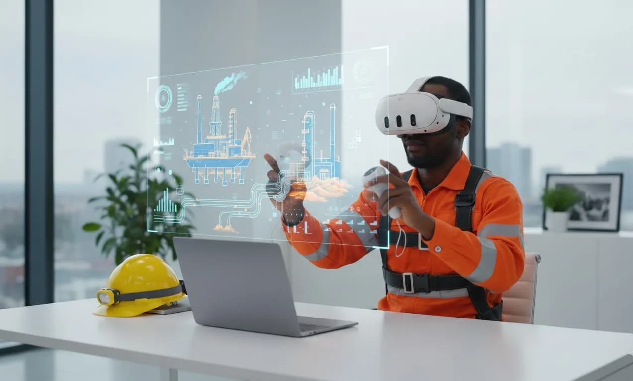
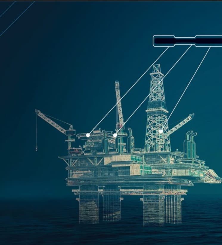
On-site LiDAR scanning, 3D photogrammetry, and facility modelling create an accurate operating picture so teams can plan maintenance faster and answer inspection questions with evidence.
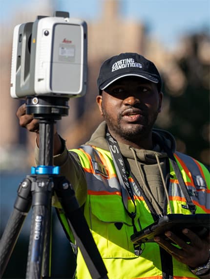
Our field teams deploy survey-grade LiDAR and drone-based photogrammetry to capture the facility as it actually exists.
The result is a living digital twin that gives engineering, operations, and contractors one trusted view for planning, shutdown preparation, modification work, and inspection support.
What this service includes
- Survey-grade point-cloud capture
- Current as-built 3D models
- Inspection and compliance zone mapping
- BIM / CAD integration and change tracking